Key Features
| Approach | Double Figure 8 Open Loop |
| Turn Angles | 45 | 90 | 135 | 157.5 |
| Length | 6.4km |
| Est. Flight time | 6:00 min |
| Space Required | 1.4km x 1.0km |
| Required Height | 909m @ 7.7GR |
| 1076m @ 6.5GR | |
| Airspace challenges |
1) Track along airspace (R & L) 2) Fly around airspace (R & L) |
| Notes | This task was consciously shortened (less angles, shorter legs) to fit into a 1000m height window. |
The Task
For a live map view of the task in different locations please head over to the Task Overview on AirScore
Task & Airspace Downloads
Please consider viewing in landscape mode on a mobile!
| Country | Location | Links | Start Height | Images | Notes |
|---|---|---|---|---|---|
| Australia (AU) | Beechmont, QLD |
Task
Airspace | 1500 | 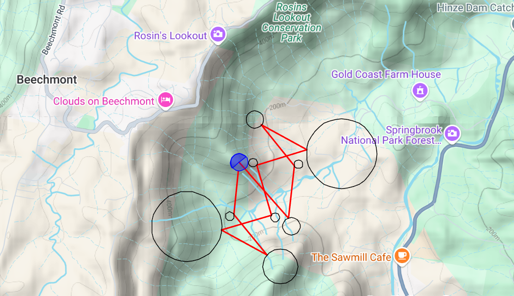  | |
| Australia (AU) | Black Heath, NSW |
Task
Airspace | 1800m |   | |
| Australia (AU) | Bright, VIC |
Task
Airspace | 1400m |   | |
| Australia (AU) | Corryong, VIC |
Task
Airspace | 1500m | 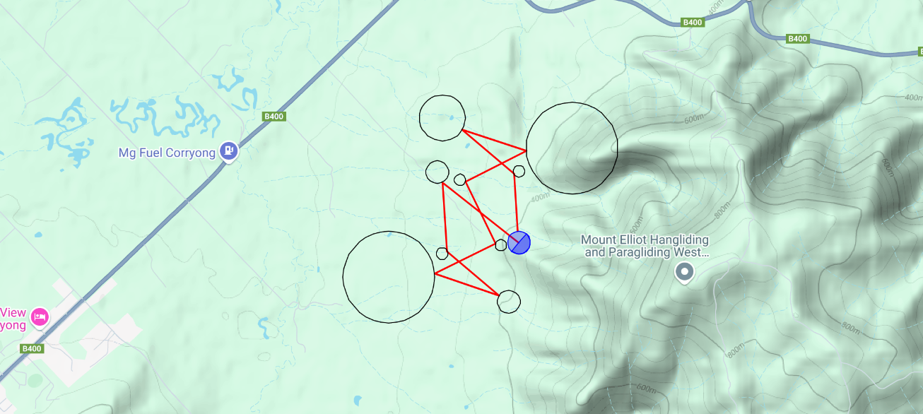  | |
| Australia (AU) | Montes, NSW |
Task
Airspace | 1240m | 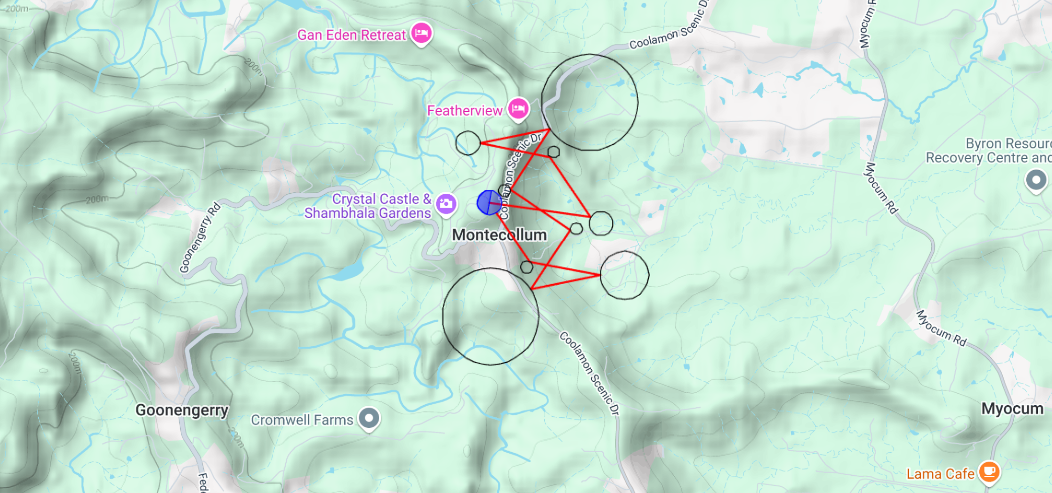  | |
| Australia (AU) | Mt. Tamborine, QLD |
Task
Airspace | 1500m | 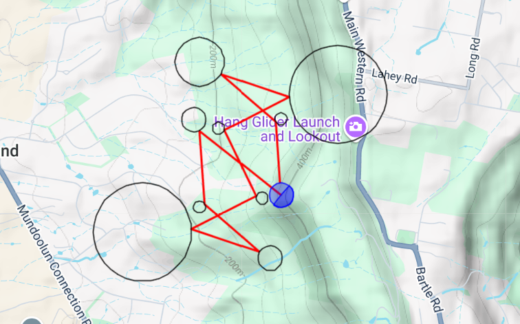  | |
| Switzerland (CH) | Disentis | Coming soon | |||
| Switzerland (CH) | Hüsliberg, Schänis |
Task
Airspace | 1800m | 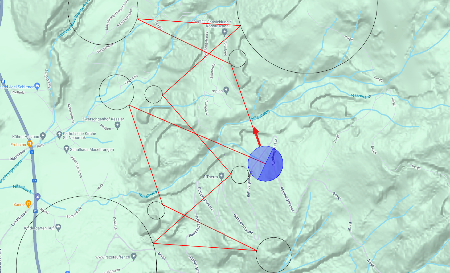  | |
| Switzerland (CH) | Verbier |
Task
Airspace | 1850m | Can be flown on landing approach. Watch out for valley breeze. |
Scoring
To submit a score, you need to first be set up on AirScore (1-time setup). If you are not, please visit the Scoring page for details.
Users that have gone through the setup, can submit their score here:
https://xc.highcloud.net/submit_track.html?comPk=419
Make sure to select the correct parameters:
- Competition: PGLaps_MicroTaskV01
- Task: [your flight location]
Once submitted, your flight will be get automatically scored within 5min of submission.
A global ladder for this Task is then available here:
https://xc.highcloud.net/comp_overall.html?comPk=419
A ladder for each location can be accessed by clicking on the relevant task here:
https://xc.highcloud.net/task_overview.html?comPk=419
For further details on Scoring please visit our scoring page.